Lecture notes - Belépés
10. Drone photogrammetry
UAV: Unmanned Aerial Vehicle
drone
Taking overlapped digital pictures from the air along with a predesignated flight plan, automatic recognition of the same points on different images, generating a point cloud, transformation to the absolute coordinate system using reference points.
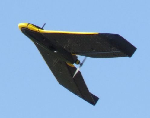
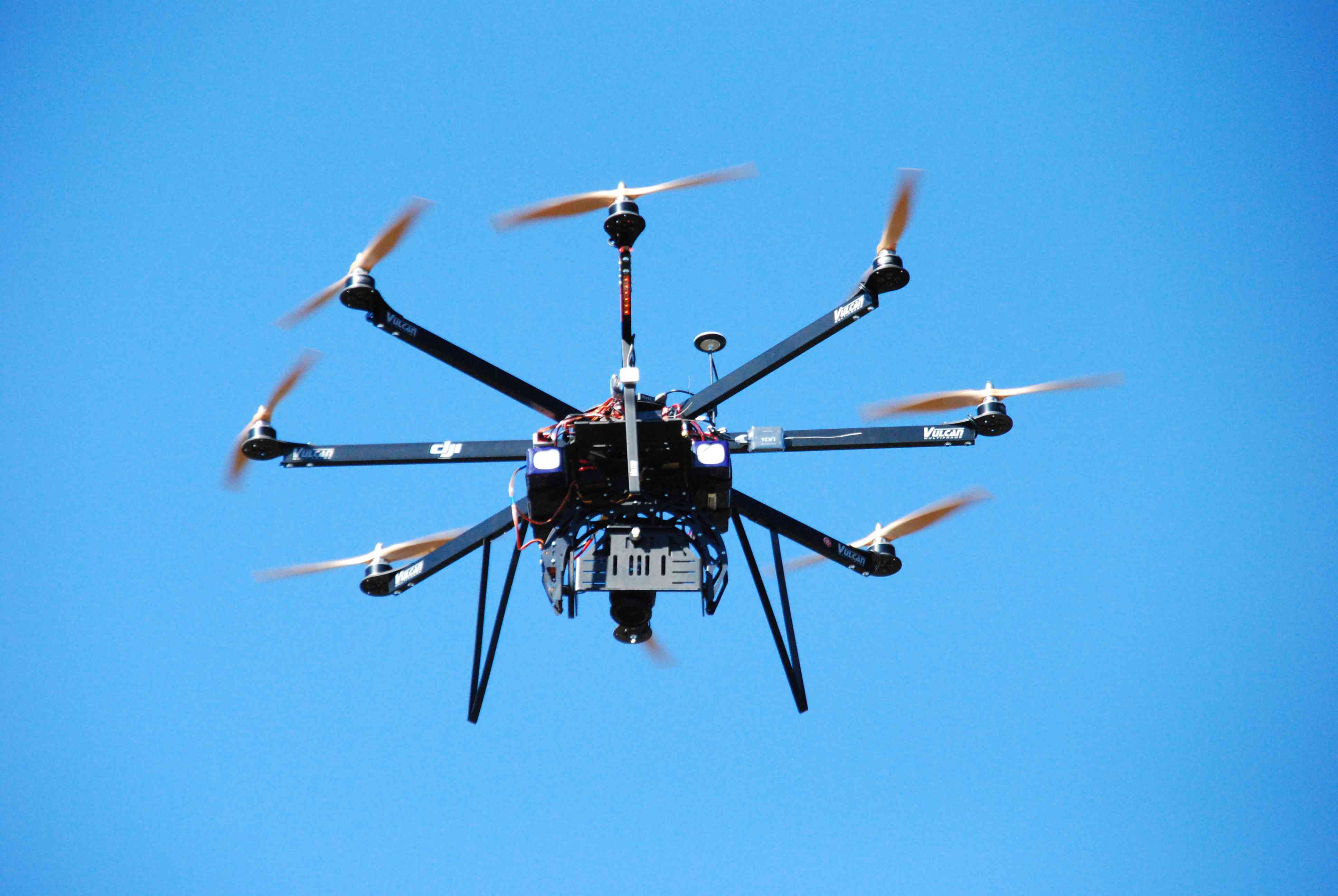
Two types of vehicles, their pros and cones:
- fixed-wing
- multirotor
Typical
resolution of digital camera: <20M, the typical height of flight: 40-200
m, typical resolution: a few cm/pixel, typical density of point cloud: a few dozens of points / m2, typical flight time using one battery: a few 10 minutes.
Applications: surveying excavations, terrain, buildings, agriculture, flooded areas ...
Final results: (1) orthophoto and (2) point cloud
limitations: the capacity of the battery, safety, accuracy, vegetation...