Lecture notes - Belépés
13. Volume computation
13.4. Using point clouds
Point cloud techniques are widely used to survey complex surfaces in order to develop spatial models and carry out volume computation jobs. The raw point cloud is usually subsampled to have a manageable amount of points. Then a digital terrain model is set up and finally, one of the abovementioned methods is used to calculate the volume.
The point cloud about the soil depot above contains millions of points:
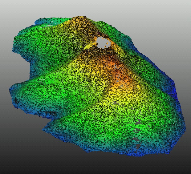
A sub-sample process was launched to have 25 cm average distance between the neighbouring points. Thus the point cloud contains 1000 points or so.