Lecture notes
Lecture notes - Log in
4. Control points
The positioning techniques used in surveying are always based on some form of relative method. This means that the coordinates of the points to be mapped (detail points) are determined relative to some already known coordinates (control points). The control points form various networks (control point networks). The common characteristic of classical control point networks is that they have a hierarchical structure and are separated into horizontal and vertical control point networks. The abovementioned coordinate systems do no exist physically, but control point networks can be considered as their representation.
Horizontal control points can be classified in several ways:
- According to the method of determination, they can be triangulation or trilateration or traverse points or GPS points.
- According to hierarchy, they can be national (in Hungary 1st, 2nd, 3rd, and 4th order) or survey (5th order) points.
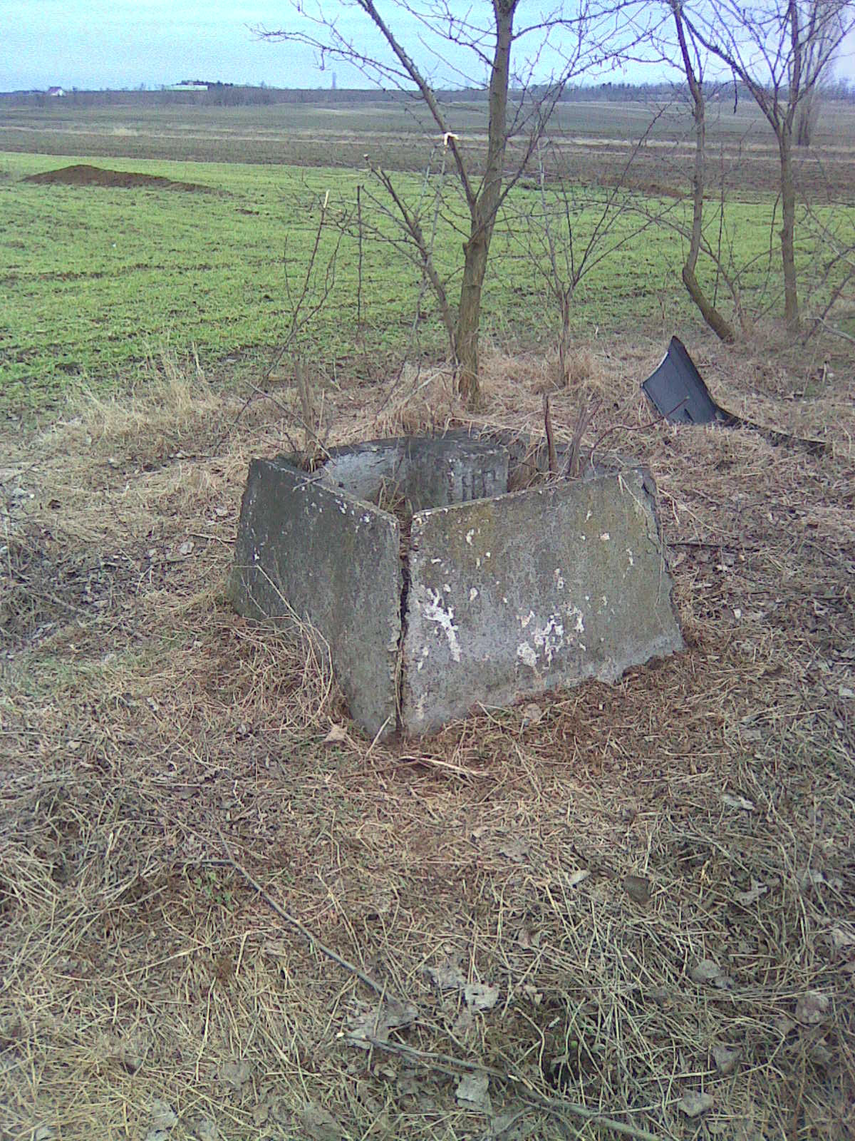
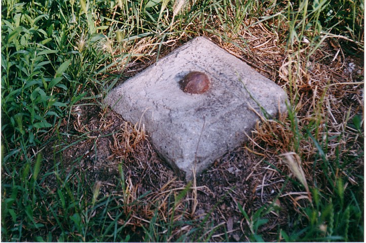
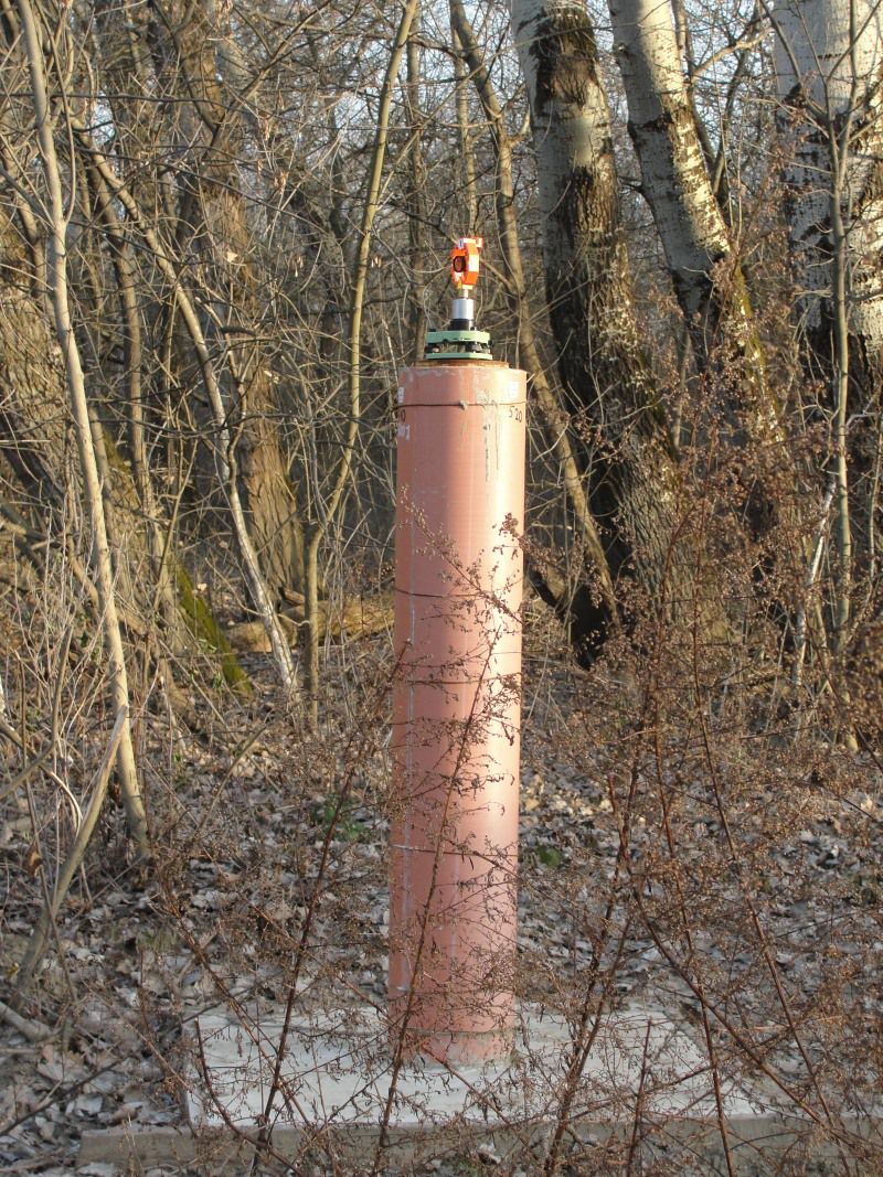
- Based on their location, they can be ground-level or elevated points (but not height points). Ground-level points can be stones, brass caps, or the previously used but still visible iron tables, iron cabinets. Elevated points can be church towers, chimneys, other towers, antennas, tripods, reinforced concrete measurement towers, wooden structures (pylons) and so on. The way of marking the control points varies from country to country.
It
is advisable to mark (permanently establish) control points in such a way that
their existence is ensured for as long as possible, ideally for decades, and
that they are located in easily accessible places in public areas. The
protection of base points is typically ensured by using dome-shaped stones for
permanent marking in rural areas. A control point represents (or represented) significant
value; however, experience shows that few are aware of this. Unfortunately, control
points deteriorate very quickly, and replacements, restoration, or the
establishment of new control points are very rarely carried out. One reason for
this is that, primarily due to GPS technology, determining a new control point
is generally simpler and cheaper today than the continuous preservation and
maintenance of existing ones. It is also worth noting that GPS accuracy, even
in surveying, might be lower than needed to determine a control point,
especially vertical ones.
Examples of establishing horizontal control points (in Hunfógary):


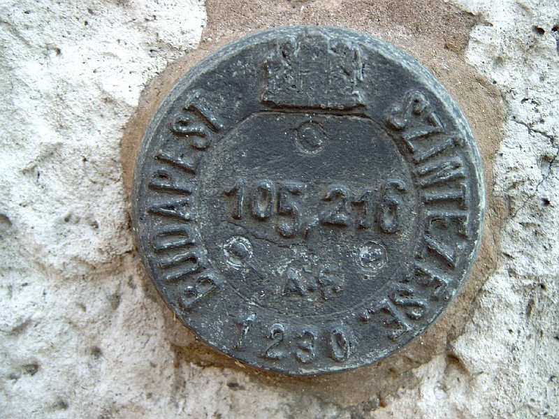
Examples of benchmarks (in Hungary):


Control points used on the spot of constructions:

Online shop to browse and buy control points in Hungary (English interface is also available).
Network of active GNSS (or GPS) stations plays an important role in surveying these days. A great majority of land surveying jobs can be done based upon corrections from GNSS infrastructures.
More details about the Hungarian active GNSS network can found here: https://gnssnet.hu/. An alternative service provider is here: https://corrigo.hu/.