Lecture notes
Lecture notes - Belépés
2. Reference systems
Tasks of geodesy and land surveying:
- determination of the shape and size of the Earth (geodesy).
- surveying and representation of artificial and natural objects on, directly below, and above the Earth's surface (land surveying).
- setting out structures, geometric construction supervision, deformation, and movement detection (engineering surveying).
Thus, among the tasks of geodesy and surveying, we find various tasks related to positioning somehow. Every positioning requires a reference system (what are we measuring from?). In geodesy, positioning and reference systems, together with horizontal and vertical positioning, are traditionally separated.
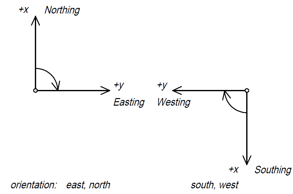
The horizontal reference system in engineering practice represents a rectangular coordinate system. Three properties define the rectangular coordinate system:
- origin;
- starting direction;
- order of axes.
According to their extent, there are global, national and local coordinate systems. Individual larger cities may have their own urban coordinate system, and there are so-called local systems, for example, a construction site or an industrial facility's proprietary system.
Height coordinate systems are tied to a particular sea level. Height is measured perpendicular to sea level, in other words, along the local vertical.
In geodesy, both horizontally and vertically, we strive to use unified coordinate systems. Thus, different surveys are conducted in a unified system, and they can essentially be seamlessly integrated with each other, preventing the propagation of errors affecting the measurements.