Lecture notes - Belépés
5. Methods of horizontal measurements
Definition of detail points:
- points defining the content of a map
- points describing terrain
Choosing detail points depends on
- the aim of surveying
- the scale of the map
Typical detail points:
- points defines the real property boundaries
- points of houses
- points of other structures, like retaining wall, stairs, terraces ...
- points of public utilities, like electric poles, manhole covers
- points of roads and other related objects, like traffic signs
- points of trees and important vegetation
- points of terrain
Detail points are measured from control points. Two principles:
- each detail point should be measured from the closest control points
- two quantities need to be measured to get a horizontal position.
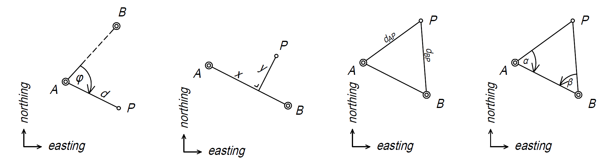
Horizontal measurement methods
- polar coordinates
- offset survey
- arc section
- intersection
Principle, mathematical formulas, pros and cons, necessary instruments of each and every methods will be presented on the lecture in detail.